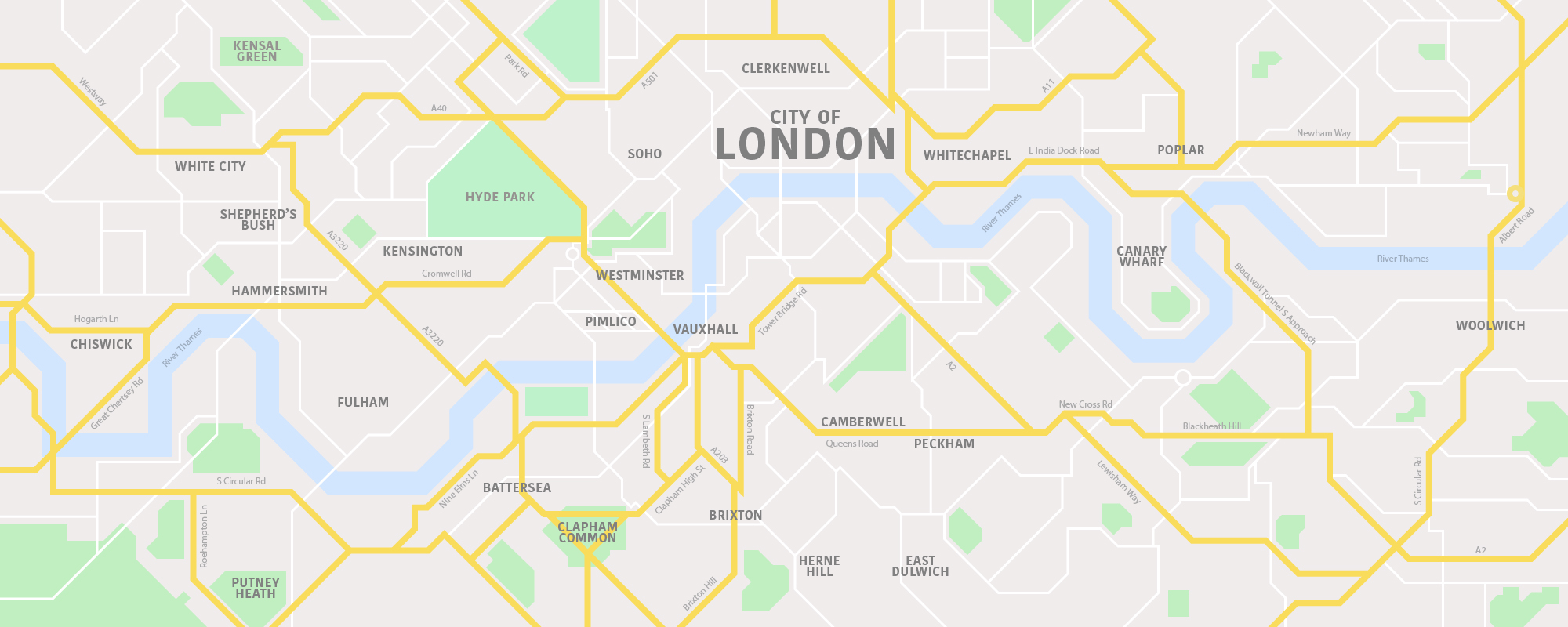
When you look at lots of major American cities from above, such as New York, Washington DC and Chicago, you’ll notice that the streets are all laid out in neat grids.
It’s the same in some European cities too, such as Barcelona, but here in London, the streets are a lot more jumbled.
This is for a couple of reasons, but mainly because London wasn’t ‘designed’, it simply grew naturally, from a series of smaller towns and villages, which started out with winding tracks between them, but grew to become the city we know today.
London didn’t have formalised planning in place until fairly recently in its long history, so you’ll only see grids in the more suburban areas, which have been built more recently.
However, we’ve taken a bit of artistic licence and redesigned London’s famous streets to see how it might look if it had been designed in a more modern style.

Fancy sharing our re-imagined London map?
